Route 66 ends at Santa Monica Pier in Santa Monica, Los Angeles County, right where the continent meets the Pacific Ocean. But here’s the trip-planning detail that catches people off guard: the famous “End of the Trail” sign sits on the pier itself, and you can’t drive to it. The Route 66 end point in California is a park-and-walk moment, and knowing that ahead of time makes the difference between a smooth finish and a confused loop around beach traffic.
This matters because after two thousand-plus miles of highway, you want to know exactly where you’re headed for the final stretch. The “official” endpoint and the “practical” endpoint are slightly different things. The official western terminus is the pier. The practical terminus, where your car actually stops, is a parking structure or lot nearby. The last few hundred feet are on foot, and honestly, that walk is part of what makes the finish feel real.
The End of Trail Sign
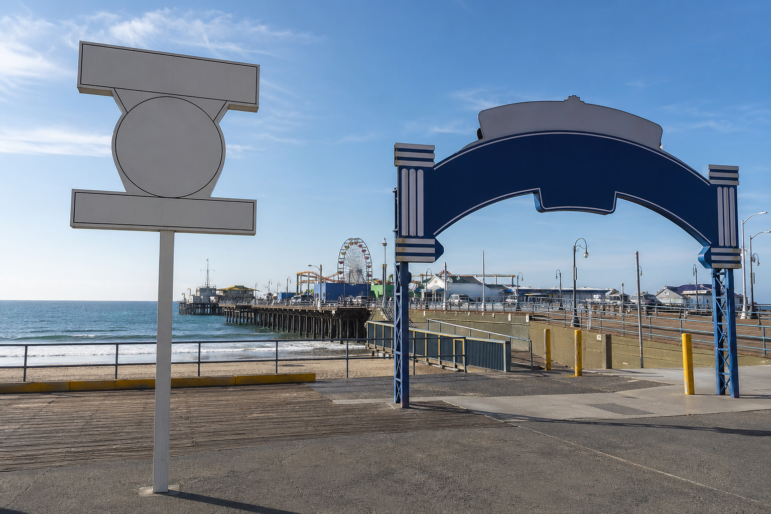
The western terminus of Route 66 is Santa Monica Pier, and the marker that confirms it is the “End of the Trail” sign mounted on the pier. It’s a dedicated Route 66 marker, a tall sign with the familiar shield logo, positioned so you can photograph it with the ocean behind you. If you’ve seen photos of people posing at the end of Route 66 in California, this is the sign they’re standing next to.
The end of Route 66 sign in California represents the finish line for westbound travelers. It was placed on the pier specifically to give drivers a clear, tangible conclusion to the route. Before the sign existed, the terminus was vaguer, technically an intersection, not a landmark you could point at. Now there’s no ambiguity. You walk to the sign, you see “End of the Trail,” and you know you’re done.
It’s a genuinely good photo opportunity. The sign is well-maintained, the pier railing and ocean serve as a backdrop, and the light is usually cooperative if you time it right. For most people finishing the route, this is the single image that goes on the wall or gets framed. Plan for it.
Pier Access and Parking
You cannot drive onto the pier to reach the marker. The pier has vehicle restrictions, and the “End of the Trail” sign is not accessible by car. Your vehicle’s journey ends before the pier entrance, and you cover the remaining distance on foot.
What you can drive to: the streets and parking areas immediately surrounding the pier. Ocean Avenue runs parallel to the coast and leads you right to the pier’s vicinity. From there, several public parking structures and surface lots serve the Santa Monica Pier area. The largest structure is just south of the pier entrance and is well-signed from the surrounding streets.
Street parking exists but is competitive, especially on weekends and during summer. If you’re arriving on a weekend afternoon, go straight for a structure rather than circling blocks. Weekday mornings are the easiest window for both parking and a less crowded pier walk.
The walk from the nearest parking to the sign is short, a few minutes at a comfortable pace. The pier is flat and paved, so it’s manageable for most people, though the surface can get crowded during peak hours. If accessibility is a concern, the pier itself is wheelchair-accessible, and the path from the parking structures to the pier entrance is paved and level. Budget maybe twenty to thirty minutes total for the park-walk-photo-walk-back loop, more if you want to linger on the pier.
Santa Monica Boulevard Final Stretch
The Route 66 ending point in Los Angeles isn’t some hidden turnoff. The route follows a relatively intuitive path through the city, and the final stretch runs along Santa Monica Boulevard, a major, well-known LA thoroughfare. If you’re driving the modern alignment westbound, you’ll pick up Santa Monica Boulevard through Hollywood and West Hollywood, and it carries you straight toward the coast.
For GPS purposes, set your destination to Santa Monica Pier. Your navigation will route you through the city and drop you near the pier entrance area. The final landmarks to watch for: Santa Monica Boulevard narrows as it approaches the ocean, you’ll cross a few intersections near the commercial district of Santa Monica, and then Ocean Avenue signals that you’re at the coast. The pier entrance is just south of where Santa Monica Boulevard meets Ocean Avenue.
Think of the mental map this way: Route 66 through LA becomes Santa Monica Boulevard, Santa Monica Boulevard ends near the ocean, the ocean means Ocean Avenue, and the pier is right there. It’s a straight conceptual line from the desert to the sea, and the last few miles through LA are ordinary city driving, traffic lights, lane changes, and the usual urban pace. Not scenic in the desert-highway sense, but purposeful. You’re closing the distance.
Finishing at the Pacific
After hours or days of desert, small towns, and open highway, the air changes first. You smell salt before you see water. The pier sounds hit next, seagulls, the faint mechanical noise of the small amusement park on the pier, people talking. It’s a sharp contrast to the quiet stretches of Arizona and the Mojave, and it registers immediately.
The best time for photos at the sign is morning or late afternoon. Midday sun can wash out the shot, and the pier is less crowded before noon. If you’re finishing a long driving day and arriving in the evening, the sign is still there and lit well enough, but golden hour gives you the best light against the ocean. Stand so the sign fills the foreground and the Pacific stretches behind it. Most people use a phone and get a clean shot without any special effort.
Bring what you’d bring for any beach-adjacent stop: sunscreen if it’s midday, a light layer if it’s evening. Budget time not just for the photo but for standing at the railing and looking west for a minute. After that many miles of road, the moment deserves a pause that isn’t rushed. Then walk back to your car, rejoin the Santa Monica street grid, and know that leaving the area during afternoon rush hour will take patience. PCH and the I-10 on-ramp near the pier get congested, especially between three and seven in the evening. If you can, time your departure outside that window.
Defining the True Terminus
Where does Route 66 end? At the “End of the Trail” marker on Santa Monica Pier, the Route 66 terminus in Santa Monica, standing at the edge of the Pacific. Your car gets you to the surrounding blocks, but the final steps are yours on foot. Set your GPS for Santa Monica Pier, park in a nearby structure, walk onto the pier, find the sign, and take the picture. That’s the finish. No ambiguity, no confusion, and no need to wonder if you’re in the right place. The sign tells you plainly: this is where the trail ends.